

Texas has thousands of waterways, but the names used for them can be confusing. A river, creek, reservoir, and bayou may all contain moving or standing water, yet each one forms differently and plays a different role in the landscape.
Understanding these terms makes it easier to read maps, plan outdoor trips, and appreciate how water shapes Texas communities.
What Is a River?

A river is a natural stream of water that flows through a defined channel. Rivers usually collect water from smaller streams, creeks, rainfall, and underground sources before carrying it toward another river, a lake, a bay, or the Gulf of Mexico.
Texas rivers vary greatly in size and appearance. Some are broad and slow-moving, while others pass through rocky canyons or shallow Hill Country crossings.
Well-known Texas rivers include:
Many Texas rivers have supported settlement, agriculture, transportation, recreation, and wildlife for centuries. Their flow levels can change sharply depending on rainfall, drought, and water releases from dams.
What Is a Creek?
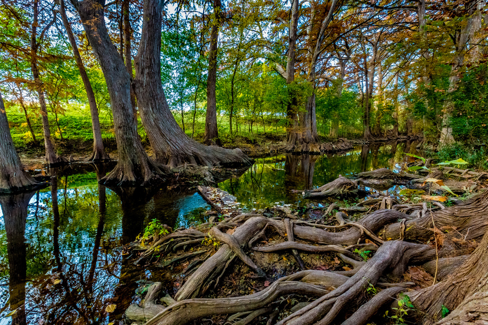
A creek is generally a smaller natural stream. It often feeds into a larger creek, river, lake, or reservoir.
There is no universal measurement that separates a creek from a river. The name often depends on local history and common usage rather than exact width or water volume. Some waterways called creeks may become surprisingly large after heavy rain, while others may remain dry for part of the year.
Texas creeks include urban waterways, spring-fed streams, and seasonal channels. Barton Creek in Austin, for example, is known for swimming holes and limestone scenery. White Rock Creek flows through parts of the Dallas area.
Creeks are especially important because they collect runoff from surrounding land. They also provide habitat for fish, birds, insects, amphibians, and native plants.
What Is a Reservoir?
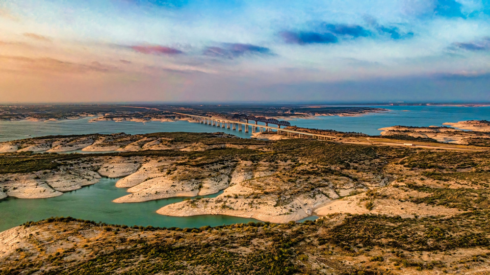
A reservoir is a body of water created or enlarged by a dam. Unlike a river or creek, it is usually built for a specific human purpose.
Reservoirs may store water for:
- Cities and towns
- Agriculture
- Flood control
- Electricity generation
- Industry
- Recreation
Many places commonly called lakes in Texas are technically reservoirs. When a dam blocks a river, water collects behind it and forms a large storage area.
Examples include Lake Travis, Lake Texoma, Toledo Bend Reservoir, and Sam Rayburn Reservoir. These bodies of water are popular for boating and fishing, but their main purposes often include water supply or flood management.
Reservoir levels can rise and fall based on rainfall, drought, water use, and dam operations. During dry periods, boat ramps, shorelines, and submerged structures may become exposed.
What Is a Bayou?
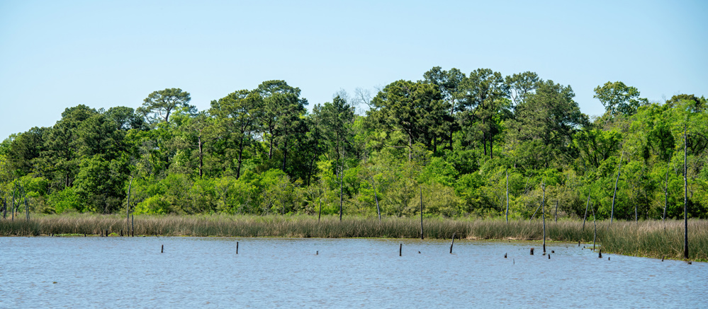
A bayou is a slow-moving waterway commonly associated with low-lying, flat areas. Bayous are often found along the Gulf Coast, where the land has little elevation and water moves gradually.
A bayou may be connected to a river, wetland, marsh, lake, or coastal estuary. Some bayous are natural, while others have been widened or altered for drainage and flood control.
Houston is especially known for its bayous. Buffalo Bayou, Brays Bayou, and White Oak Bayou are major parts of the city’s drainage system. They also support parks, trails, wildlife areas, and public spaces.
Bayous often appear calm, but they can rise rapidly during major storms. Because they drain broad urban and coastal areas, they play an important role in moving floodwater.
The Main Differences
The simplest difference is how each water feature forms and behaves.
A river is a larger natural flowing waterway. A creek is usually a smaller natural stream. A reservoir is a human-made or human-controlled body of stored water. A bayou is typically a slow-moving channel in a flat, low-lying region.
These categories can overlap. A creek may flow into a reservoir, a reservoir may be built along a river, and a bayou may connect with a river or coastal wetland.
Names can also be misleading. A waterway’s official name may come from history rather than its present-day size or condition.
Why Texas Has So Many Different Water Features
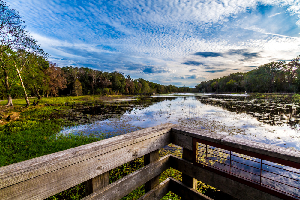
Texas covers a large area with several different climates and landscapes. East Texas receives more rainfall and contains forests, wetlands, and slow-moving streams. Central Texas has springs, limestone creeks, and rivers that can rise quickly after storms.
West Texas is much drier, so many streams are seasonal. Along the Gulf Coast, flat terrain supports bayous, marshes, and estuaries. Reservoirs are found across the state because Texas communities depend heavily on stored surface water.
This geographic variety explains why Texas waterways can look very different from one region to another.
How Waterways Affect Flooding
Rivers, creeks, bayous, and reservoirs all influence flooding, but they do so in different ways.
Rivers and creeks carry runoff downstream. When rainfall is too intense, they may overflow their banks. Bayous drain low-lying areas but can fill quickly during tropical storms or prolonged rain.
Reservoirs can reduce some flood risks by storing excess water. However, they have limited capacity. Dam operators may need to release water when levels become too high, which can affect downstream areas.
Development also changes how water moves. Roads, rooftops, and parking lots prevent rain from soaking into the soil, sending more runoff into nearby channels.
Why These Waterways Matter to Wildlife
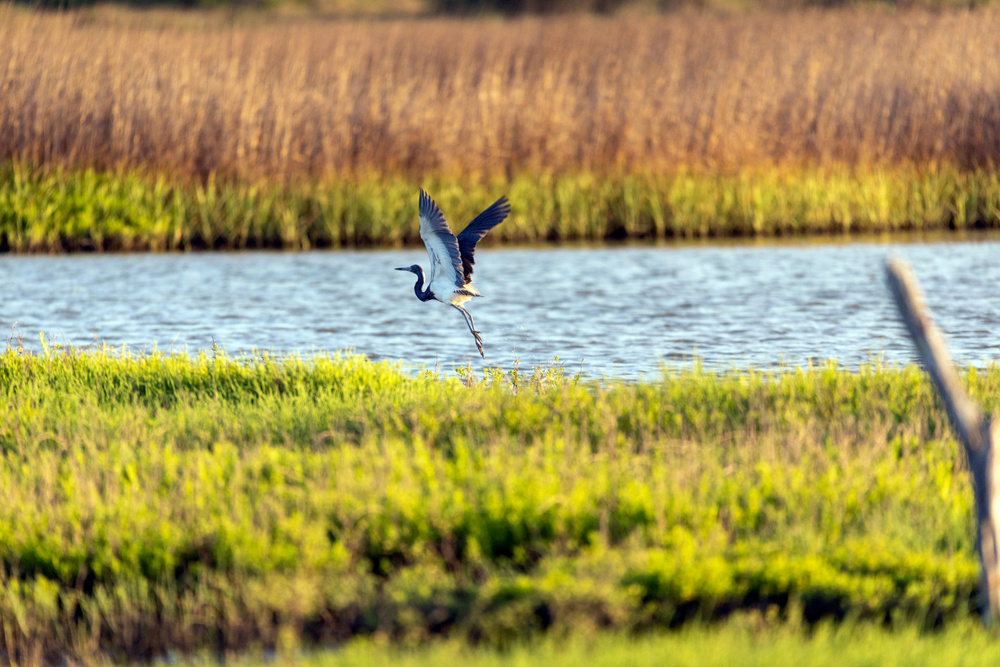
Texas waterways create important habitats. Rivers and creeks provide drinking water and travel corridors for animals. Reservoirs support fish populations, migratory birds, and shoreline vegetation.
Bayous and coastal wetlands are especially valuable for birds, reptiles, amphibians, and aquatic species. They may also serve as nursery areas for fish and other wildlife connected to coastal ecosystems.
Even small creeks can support a wide range of life, particularly when their banks remain covered with native plants and trees.
Understanding the Water Around You
Learning the difference between rivers, creeks, reservoirs, and bayous helps explain how Texas manages water and responds to drought, floods, and population growth.
These waterways are more than names on a map. They supply drinking water, shape cities, support recreation, protect wildlife, and influence where and how Texans live.
The next time you cross a bridge, walk beside a trail, or visit a lake, the name of the waterway can offer a clue about how it formed and what role it serves.