
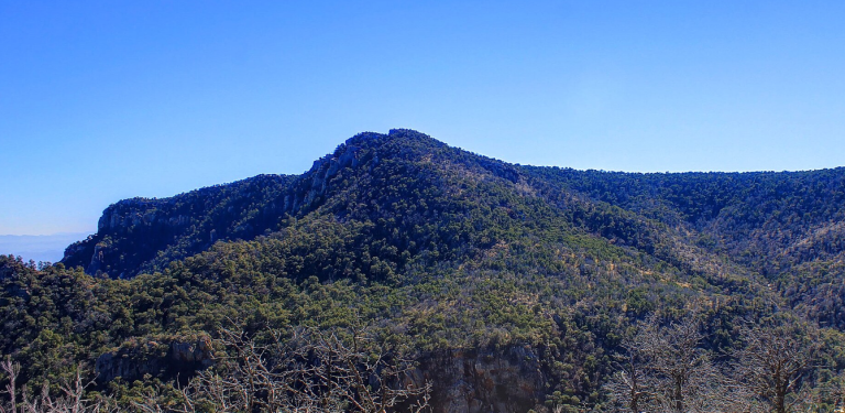
Townsend Point is a prominent summit in the Chisos Mountains of Big Bend National Park, located in Brewster County, Texas. With an elevation of approximately 7,574 feet (2,309 meters), it ranks as the second-highest peak in both the Chisos range and the park, surpassed only by Emory Peak. The summit forms part of the rugged volcanic landscape that defines the Chisos, offering sweeping views of Juniper Canyon and the surrounding desert basins.
Geography and Topography
Rising sharply from the desert floor, Townsend Point stands about 3,250 feet (990 meters) above Juniper Canyon within a horizontal distance of just two miles. This dramatic relief creates a striking contrast between the arid lowlands and the cooler, forested mountain slopes. The peak’s terrain consists of rocky outcrops, steep ridges, and rugged cliffs typical of the volcanic formations that shaped the Chisos Mountains. Its topographic prominence is approximately 422 feet (129 meters), and its isolation is just over one mile (1.6 kilometers), underscoring its close proximity to other major peaks in the range.
Geology
The Chisos Mountains, including Townsend Point, are composed primarily of extrusive volcanic rock that formed during the late Eocene to Oligocene epochs. These volcanic processes produced layers of rhyolite, tuff, and basalt, which now give the area its dramatic formations and multicolored cliffs. Over millions of years, erosion sculpted the landscape into the sharp ridgelines and canyons seen today. The geology of Townsend Point reflects the region’s volcanic origins, making it an area of interest for geologists studying the complex volcanic history of West Texas.
Climate and Ecology
Townsend Point lies within a hot arid climate zone, typical of the Chihuahuan Desert, but its elevation introduces cooler temperatures and more moisture than the surrounding desert floor. Summers are warm, while winters are mild, with occasional frost or light snow at higher elevations. The varied elevation contributes to diverse microclimates, supporting a mix of desert and mountain vegetation. The slopes feature juniper, oak, and piñon pine forests, which provide habitat for wildlife such as mule deer, javelinas, black bears, and numerous bird species.
Hydrology
Precipitation runoff from Townsend Point drains into Fresno Creek and Juniper Draw, which ultimately feed the Rio Grande. This hydrological connection underscores the peak’s role in the park’s watershed system. Although rainfall is limited, the steep terrain channels water quickly, shaping the canyons and sustaining small pockets of vegetation in otherwise dry conditions.
Historical Significance and Naming
Townsend Point was named in honor of Everett Ewing Townsend (1871–1948), a prominent figure in the creation of Big Bend National Park. A Brewster County sheriff, rancher, and advocate for conservation, Townsend worked tirelessly to promote the protection of the Big Bend region. His efforts were instrumental in establishing the national park in 1944. The U.S. Board on Geographic Names officially adopted the name “Townsend Point” in 1981, recognizing his contributions to Texas conservation history.
Summary
Townsend Point stands as both a geological landmark and a tribute to the dedication of one of Texas’s early conservation advocates. Its combination of volcanic origins, rugged topography, and ecological diversity makes it a distinctive feature of Big Bend National Park and a symbol of the state’s natural heritage.
Photos:
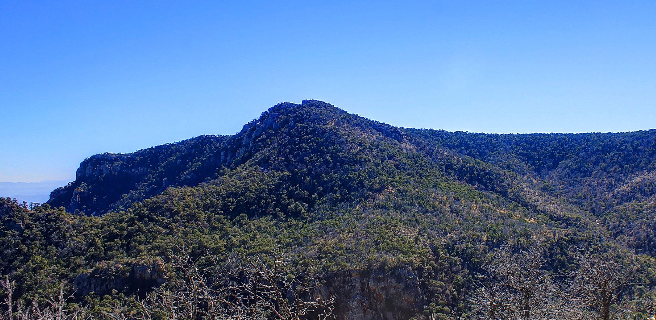
Townsend Point
Map:
Sorry, no records were found. Please adjust your search criteria and try again.
Sorry, unable to load the Maps API.
Big Bend National Park
Texas
79834
United States
Yes
- Hiking
- Bird Watching
- Picnicking
- Photography
- Park benches
- Walking trails
- Wildlife observation areas
- Restrooms