
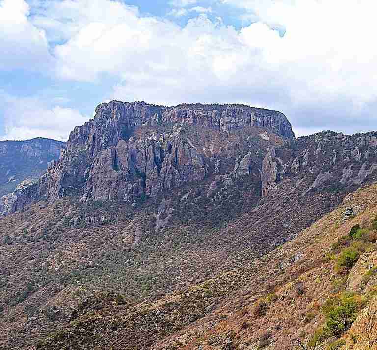
Toll Mountain stands at approximately 7,409 feet (2,258 meters) in elevation and is located within the Chisos Mountains of Brewster County, Texas, inside Big Bend National Park. It is one of the park’s highest summits, ranking among the top peaks in the region and within the top 25 highest mountains in the state of Texas. The prominence and rugged terrain of the mountain make it a notable feature of the park’s striking skyline.
Geology and Formation
The mountain is composed primarily of extrusive volcanic rock that formed during the Oligocene epoch, roughly 23 to 34 million years ago. During this time, extensive volcanic activity shaped much of the Chisos Range. Layers of volcanic ash, lava flows, and tuff deposits gradually cooled and solidified, creating the jagged summits and deep canyons that define Big Bend’s topography today. Toll Mountain is a fine example of this geological history, showcasing the region’s volcanic past through its rocky cliffs and weathered surfaces.
Vegetation and Wildlife
Despite the arid environment, Toll Mountain supports a range of vegetation due to its elevation and microclimates. Its slopes are covered with juniper, oak, and piñon pine, along with desert shrubs and grasses adapted to the region’s dry conditions. The area’s diverse plant life provides habitat for a variety of wildlife, including mule deer, javelinas, and several species of birds such as the Mexican jay and the Colima warbler, which are often found in the higher elevations of the Chisos Mountains.
Climate
The region surrounding Toll Mountain experiences a hot arid climate typical of the Chihuahuan Desert. Summers are long and hot, while winters are mild with cooler temperatures at higher elevations. Precipitation is generally low throughout the year, though occasional summer monsoon rains bring brief bursts of moisture that sustain the mountain’s vegetation and seasonal streams. The contrast between the desert floor and the cooler mountain slopes contributes to the ecological variety found in this part of Big Bend National Park.
Topography and Relief
Toll Mountain rises sharply above the surrounding landscape, with its summit reaching about 2,600 feet above Juniper Canyon within a horizontal distance of roughly one mile. This dramatic rise highlights the area’s significant topographic relief, which is a defining characteristic of the Chisos Mountains. From its upper slopes, visitors can view the expansive desert below, the winding canyons, and the distant peaks that shape the park’s rugged beauty.
Name and Historical Significance
The mountain was named in honor of Roger W. Toll, a National Park Service official who played a role in the early efforts to establish Big Bend National Park. Toll’s work in park planning and his advocacy for conservation contributed to the eventual designation of Big Bend as a national park in 1944. Naming one of its prominent summits after him serves as a lasting tribute to his contributions to the preservation of America’s natural landscapes.
Photos:
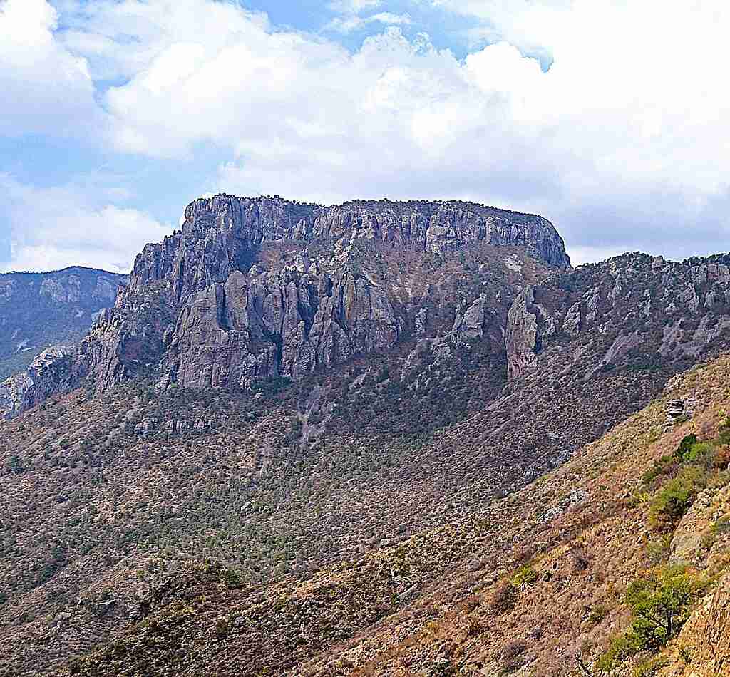
Northeast aspect of Toll Mountain viewed from Lost Mine Trail in Big Bend National Park, Texas, USA.
Map:
Sorry, no records were found. Please adjust your search criteria and try again.
Sorry, unable to load the Maps API.
Big Bend National Park
Texas
79834
United States
Pets are not allowed on trails, including those leading to Toll Mountain, within Big Bend National Park.
- Hiking (via Pinnacles Trail)
- Backcountry camping (at TM1 campsite)
- Wildlife viewing
- Photography
- Bushwhacking to the summit (no official trail)
- Bear-proof storage box
- Solar-composting pit toilet nearby
- No potable water; hikers must carry sufficient water
Geoff Gallice, Toll Mountain, CC BY 3.0