
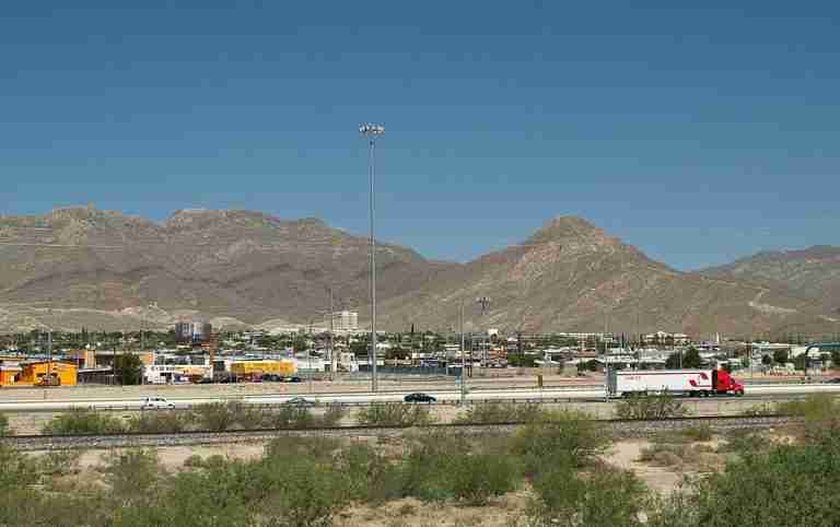
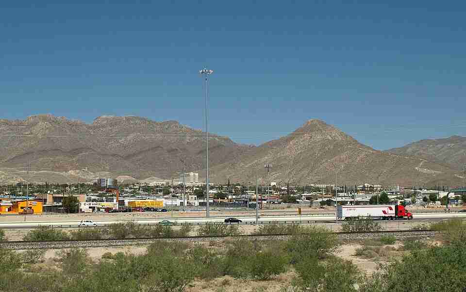
Sugarloaf Summit is a well-known peak in the Franklin Mountains, located near McKelligon Canyon on the eastern edge of El Paso, Texas. Rising to about 5,249 feet above sea level, this rugged peak is one of the most distinctive landmarks in the region. It draws hikers who enjoy challenging climbs and sweeping views of the Chihuahuan Desert and surrounding cityscape. The area’s rocky terrain and steep grade make it a popular choice for those seeking a short but demanding outdoor experience.
The Trail
The main trail to Sugarloaf Summit is roughly 1.1 miles long with an elevation gain of around 950 to 1,000 feet. Though short in distance, the steep incline and rocky surface require careful footing and good physical condition. The path is relatively exposed, offering little shade along the way, which makes it best suited for early morning or cooler-season hikes. While the route is popular, it is not officially maintained, and trail markings can be faint in some areas. Hikers are advised to wear sturdy footwear and bring plenty of water.
Views and Surroundings
At the top, hikers are rewarded with panoramic, 360-degree views of El Paso, the Franklin Mountains, and the surrounding desert. From this vantage point, it is possible to see across the Rio Grande into Ciudad Juárez, Mexico, on clear days. The summit area is rocky and open, ideal for resting and taking in the vast landscape. The views are especially striking at sunrise or sunset when the desert colors shift dramatically under changing light.
Access and Visitor Information
Sugarloaf Summit is adjacent to McKelligon Canyon but is generally regarded as outside the official boundary of Franklin Mountains State Park. As such, it does not require a park entry fee. The trailhead is accessible from McKelligon Canyon Road, where parking areas are available. The hike is open year-round, though summer temperatures can reach dangerous levels. Most visitors prefer cooler months or early hours to avoid heat-related risks. While the area is open to the public, it is important to note that facilities such as restrooms and water sources are limited. Hikers should come prepared with supplies and sun protection.
Safety and Recommendations
Because the trail is steep and largely unshaded, safety is a key consideration. Bringing adequate water, wearing proper hiking boots, and using trekking poles for stability are all recommended. Wildlife sightings are possible, including desert lizards and birds native to the region. Cell service is generally reliable near the city, but navigation apps or GPS devices can help ensure hikers stay on the correct route. Pets may not be suitable for this hike due to the rocky terrain and lack of official pet accommodations.
Photos:
Map:
Sorry, no records were found. Please adjust your search criteria and try again.
Sorry, unable to load the Maps API.
El Paso
Texas
79930
United States
Yes
- Hiking
- Birdwatching
- Photography
- Picnicking
- Parking Area
- Restrooms
- Picnic Tables