

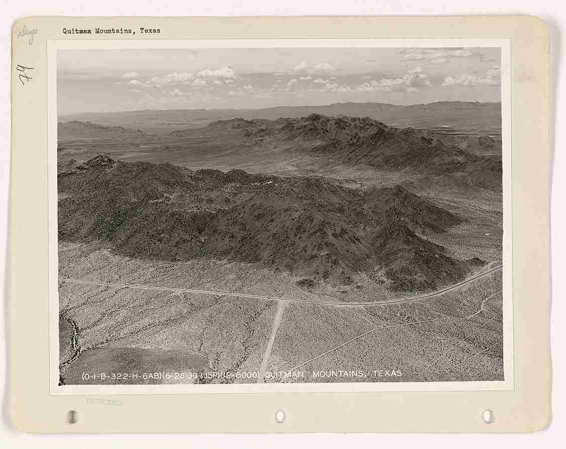
The Quitman Mountains High Point rises in Hudspeth County, Texas, reaching approximately 6,680 feet (2,036 meters) above sea level. It stands as the highest elevation in the Quitman Mountains, a rugged and narrow range that stretches southeastward from near Sierra Blanca toward the Rio Grande and northern Mexico. The range forms part of the scenic Trans-Pecos region, known for its striking desert landscapes and mountainous terrain. Though not as widely known as the nearby Hueco or Franklin Mountains, the Quitman range holds geological and ecological significance within far West Texas.
Landscape and Vegetation
The Quitman Mountains feature steep, rocky slopes and deep box canyons shaped by centuries of erosion. Vegetation varies greatly with elevation. At lower levels, the terrain supports live oak, piñon pine, juniper, and various grasses typical of the Chihuahuan Desert foothills. Higher elevations, where conditions are cooler and moisture is more available, support Douglas fir, ponderosa pine, Arizona cypress, maple, and madrone. This blend of desert and mountain flora gives the range an unusual ecological diversity for its size.
Geological Background
Geologically, the Quitman Mountains are part of the complex tectonic structures that define the Trans-Pecos region. They were uplifted during the Late Cretaceous, around 60 million years ago, during the Laramide orogeny. The range consists of horsts flanked by grabens, formed through block faulting that occurred after the earlier folding and thrusting events of the Laramide phase. These tectonic processes created the broken, rugged relief visible today. The mountains are primarily composed of volcanic and sedimentary rocks, with layers that record a long history of geologic change.
Mineral Resources and Studies
The area has attracted attention from geologists for its mineralization. Hydrothermal veins and contact metasomatic skarn deposits occur throughout parts of the range, containing minerals such as silver, lead, zinc, copper, molybdenum, tungsten, and beryllium. These mineralized zones reflect the area’s history of igneous intrusions and hydrothermal activity. Although large-scale mining has not developed here, the Quitman Mountains have been the subject of several geological surveys and research papers due to their value in understanding Trans-Pecos mineral systems.
Historical Background
The range was named after John Anthony Quitman, an influential political and military figure in 19th-century Texas and Mississippi history. The nearby Indian Hot Springs, located along the Rio Grande at the southern end of Hudspeth County, is associated with the broader Quitman Mountain region. The area has long been known for its geothermal activity and has historical ties to Native American use, early settlers, and travelers in the borderlands of Texas.
Scientific and Regional Importance
The Quitman Mountains provide key insight into the tectonic and volcanic history of far West Texas. Their varied rock formations and mineral deposits reveal the processes that shaped the Trans-Pecos landscape over millions of years. For hikers, naturalists, and geologists, the range offers a glimpse into a lesser-known but scientifically rich part of the state. Its combination of rugged beauty, ecological diversity, and geologic complexity make it a significant natural landmark within Hudspeth County.
Photos:
Map:
Sorry, no records were found. Please adjust your search criteria and try again.
Sorry, unable to load the Maps API.
Sierra Blanca
Texas
79851
United States
Yes
- Hiking
- Birdwatching
- Photography
- Parking area
- Trailheads
- Picnic areas