
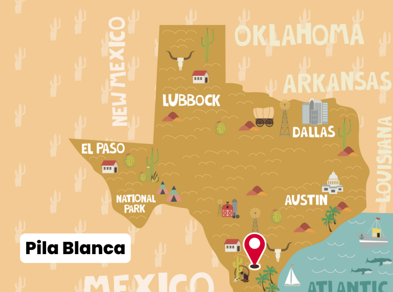
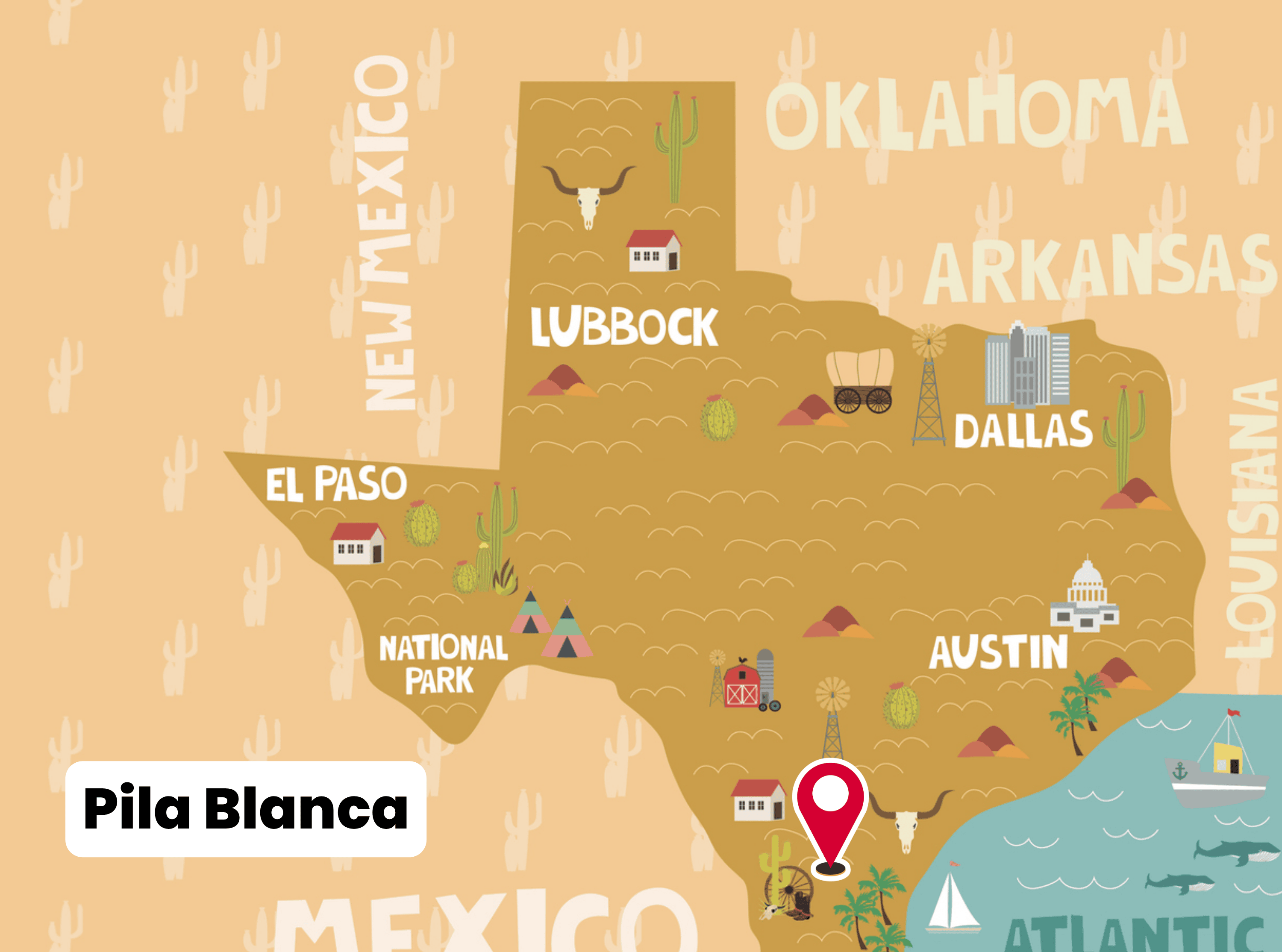
Pila Blanca is a former rural community and recognized ghost town in southern Duval County, Texas. The site lies about 1.5 miles south of U.S. Highway 44 on Farm to Market Road 3196, roughly 10 miles southeast of Freer and 25 miles west of Alice. While little remains today, Pila Blanca is documented in state records as one of the many small South Texas settlements that rose and declined during the twentieth century.
Early Development
Pila Blanca came into being before 1947. By that year, state records noted that the community supported a school and several dwellings, suggesting it was a modest hub for ranch families in the area. Like many small Texas towns of the mid-20th century, its existence revolved around providing education and basic community life for a dispersed rural population.
Education and Community Life
The school at Pila Blanca played a central role in the community. However, in 1955 it was absorbed into the Rosita Independent School District. This consolidation reflected a larger regional trend in Texas, where shrinking rural populations led to the merging of small schools into larger districts. The closure marked the beginning of Pila Blanca’s decline, as the loss of its educational center made it less viable as a settlement.
Decline into a Ghost Town
By 1968, the settlement had nearly disappeared. The Handbook of Texas reports that only a single grave, a windmill, and a nearby cemetery remained at the site. These remnants served as stark reminders of the once-active community.
The decline followed a familiar pattern for South Texas ghost towns: residents moved away in search of employment and educational opportunities in larger towns, while ranch consolidation left fewer families in the immediate area. Without businesses, schools, or infrastructure, Pila Blanca quickly faded from active use.
Later Years and Present Status
By 1990, Pila Blanca no longer appeared on official Texas highway maps, confirming its disappearance as a recognized settlement. Today, the cemetery is the most enduring physical marker of the townsite. The location is occasionally noted in ghost-town inventories, travel accounts, and local histories of Duval County, but no substantial community life has existed there for decades.
Geographic and Cultural Setting
Situated in brush country typical of South Texas, Pila Blanca lay within an area dominated by ranching. Its location along FM 3196 and near Highway 44 placed it in the orbit of Freer and Alice, larger towns that eventually absorbed the functions Pila Blanca once provided.
The name “Pila Blanca” comes from Spanish, meaning “white pool” or “white basin.” Although the specific origin of the name is not documented, it reflects the deep Spanish and Mexican cultural influence in the region.
Key Facts
-
County: Duval County, Texas
-
Location: 1.5 miles south of U.S. Highway 44 on FM 3196
-
Nearby Towns: ~10 miles southeast of Freer, ~25 miles west of Alice
-
Established: Before 1947
-
School: Functioned until 1955; merged into Rosita ISD
-
1968: Only a grave, a windmill, and a cemetery marked the site
-
1990: No longer appeared on Texas highway maps
-
Today: Classified as a ghost town; cemetery remains the most visible trace
Photos:
Pila Blanca
Map:
Sorry, no records were found. Please adjust your search criteria and try again.
Sorry, unable to load the Maps API.
Duval County
Texas
United States
- Private property—unofficial; leash etiquette advised
- Ghost‑town photography, cemetery visits, ranchland exploration
- None—no facilities or services; bring essentials