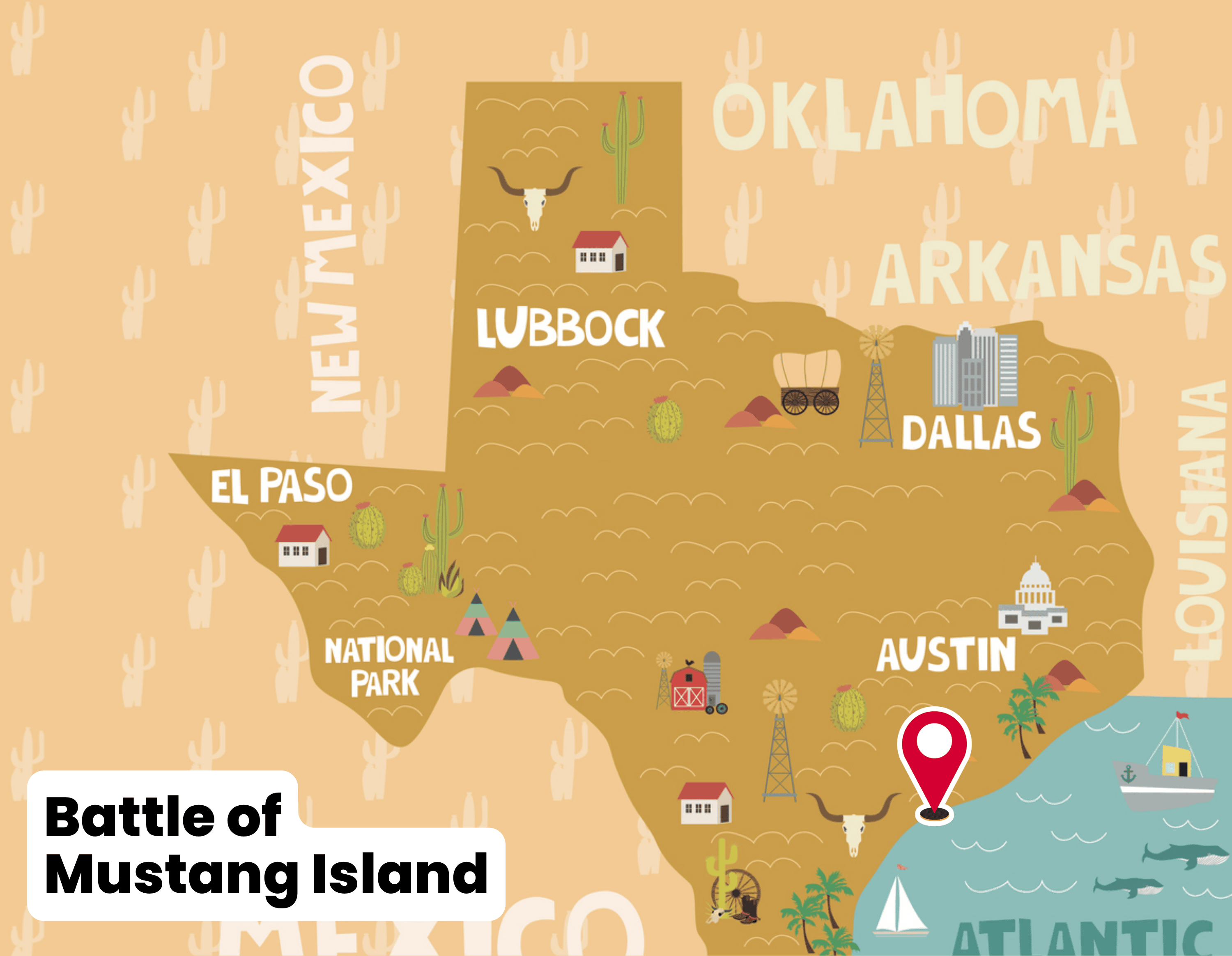
Mustang Island is more than a stretch of Texas coastline. The land now protected as Mustang Island State Park has been home to Indigenous communities, crossed by explorers, grazed by cattle, and fortified by soldiers. Its history reflects the shifting tides of culture, settlement, and conflict that shaped South Texas.
Indigenous Heritage
For centuries before Europeans arrived, the Karankawa people lived along the barrier islands and bays of the Texas coast. They traveled between the mainland and Mustang Island in dugout canoes, fished the shallow waters, and gathered oysters, clams, and mussels. Campsites and shell middens found on the island provide evidence of their long presence. The Karankawa were known as strong warriors and skilled hunters, sustaining their communities in a challenging coastal environment.
Spanish Exploration and Naming
The first Europeans to pass by Mustang Island were part of the ill-fated expedition of Álvar Núñez Cabeza de Vaca in 1528, when survivors of a shipwreck washed ashore somewhere along the Texas coast. Over the following centuries, Spanish expeditions mapped the barrier islands and used them as navigational markers for Gulf voyages.
The island was later named for the wild horses (mustangs) that roamed its dunes. These herds were likely descended from Spanish horses brought to the Americas in the 1500s. By the 1700s and 1800s, Mustang Island was recognized by sailors and ranchers as a distinctive part of the Texas shoreline.
Ranching and Settlement
In the early 19th century, Mustang Island began to attract settlers who raised cattle and sheep. Families such as the Mercers and the Chandlers established ranches, driving herds across the shallow bays to markets on the mainland. Life on the island was isolated and demanding. Ranchers depended on fishing and local resources, enduring hurricanes and salt-laden winds that shaped daily survival. The wild mustangs that gave the island its name eventually disappeared under the pressure of settlement and ranching.
Wartime Role
Mexican–American War (1846–1848)
Mustang Island’s location along the Texas coast gave it strategic value during the Mexican–American War. U.S. troops established small military positions to protect the entrance to Aransas Bay and to safeguard shipping routes. Though not the site of a major battle, the island served as part of the coastal defense network in this period.
Civil War and the Battle of Mustang Island (1863)
The most direct military link to the park comes from the Civil War. When Texas joined the Confederacy, the island became a defensive outpost. The Confederates built Fort Semmes, a modest earthwork fortification designed to guard the coast and nearby channels.
On November 17, 1863, Union Brigadier General Thomas E. G. Ransom launched an amphibious landing on Mustang Island. His force included troops from the 13th and 15th Maine Regiments and the 20th Iowa Infantry, supported by Union naval gunfire offshore. The Union soldiers marched overnight and attacked at dawn. Facing overwhelming numbers and heavy fire, the fewer than 100 Confederate defenders—mainly from the 3rd Texas State Militia and the 8th Texas Infantry—surrendered without a major fight.
This encounter, known as the Battle of Mustang Island, ended in a Union victory. The fall of Fort Semmes allowed Union forces to control this portion of the Texas coast, part of a broader campaign that also captured Fort Esperanza later in the month. For the Confederacy, the loss was another setback in maintaining supply lines through the Gulf.
From Coastline to State Park
After the Civil War, Mustang Island continued as ranching land and fishing grounds for nearby communities such as Port Aransas. By the mid-20th century, its natural beauty and recreational potential drew attention from conservationists.
In 1972, the Texas Parks and Wildlife Department began acquiring land on Mustang Island. Over several years, the state secured nearly 4,000 acres. In 1979, Mustang Island State Park officially opened to the public. The park preserved not only a five-mile stretch of sandy beach and dune habitat but also the cultural memory of those who lived, worked, and fought on the island.
Today, visitors walk the same beaches where Karankawa fished, Spanish ships sailed by, ranchers drove cattle, and Civil War soldiers once stood guard. The island’s layered history remains an important part of its identity as both a natural and cultural landmark.
Key Historical Highlights
Karankawa presence: Fishing and hunting camps for centuries.
1528: Cabeza de Vaca shipwreck and early Spanish exploration.
1700s–1800s: Wild mustangs roam the island; ranching families settle.
Mexican–American War: U.S. troops establish small outposts.
1863, Civil War: Union captures Fort Semmes in the Battle of Mustang Island.
1979: State park opens under the Texas Parks and Wildlife Department.
Photos: