
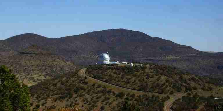
Black Mountain is a striking landmark in the Davis Mountains of Jeff Davis County, Texas. Rising to an elevation of about 7,544 feet (2,299 meters), it stands among the highest peaks in the state and is recognized as one of the top summits in the Davis Mountains range. The mountain’s rugged slopes and high elevation make it an important part of the unique landscape that defines this remote corner of West Texas.
Geography and Topography
The peak lies within the Davis Mountains, a volcanic range known for its dramatic relief and scenic terrain. Black Mountain rises more than 2,000 feet above Big Aguja Canyon, creating a bold profile against the desert sky. Its topographic prominence is approximately 1,400 feet (around 427 meters), giving it a commanding view of the surrounding valleys and ridges. The mountain’s slopes are steep and uneven, shaped by millions of years of erosion following intense volcanic activity that formed much of the region’s terrain.
Geology and Formation
Black Mountain is composed primarily of igneous rock that dates back roughly 35 million years. This volcanic material is part of the broader Davis Mountains volcanic field, which developed during a period of widespread eruptions in the late Eocene epoch. The solidified lava flows and ash deposits created a foundation of hard rock that now forms the core of the range. Over time, weathering and natural erosion carved out the distinct shape seen today, leaving a rugged mountain that reflects its fiery geological origins.
Climate and Ecology
The climate of the area is classified as cold semi-arid (Köppen BSk). Summers are generally warm and dry, while winters are cooler, with occasional snowfall at higher elevations. Despite the arid conditions typical of West Texas, the upper slopes of Black Mountain support a surprisingly diverse array of vegetation. Trees such as ponderosa pine, Douglas fir, Arizona cypress, maple, aspen, and madrone thrive in these elevated zones, creating patches of forest that contrast with the desert grasslands below. These plant communities are remnants of cooler, wetter climates from the past and provide habitat for wildlife such as mule deer, javelinas, and various bird species.
Hydrology
Rain and snowmelt from Black Mountain contribute to the Pecos River watershed. Water drains down its slopes through numerous small canyons and arroyos, feeding intermittent streams that eventually connect to the larger river system. This drainage pattern plays an important ecological role, supporting vegetation along riparian corridors and offering critical water sources for wildlife in an otherwise dry environment.
Naming and Historical Recognition
The name “Black Mountain” has been officially recognized by the United States Board on Geographic Names. References to it appear in printed materials dating back to at least 1902, when it was listed in early Texas gazetteers and topographic surveys. Its dark volcanic rock and prominent profile likely inspired the straightforward name, which has endured for more than a century in maps and regional records.
Natural Significance
Beyond its geological and ecological importance, Black Mountain offers a glimpse into the natural character of the Davis Mountains, one of the most remote and ecologically rich regions in Texas. Its blend of volcanic history, high-elevation forest, and expansive desert views make it an enduring feature of the state’s mountain country. For hikers, geologists, and nature enthusiasts, it stands as a reminder of Texas’s often-overlooked mountain landscapes.
Photos:
Map:
Sorry, no records were found. Please adjust your search criteria and try again.
Sorry, unable to load the Maps API.
Jeff Davis County
Texas
79734
United States
Information regarding pet policies is not available.
Hiking and off-road driving are common activities in the area.
There are no public amenities available at Black Mountain.
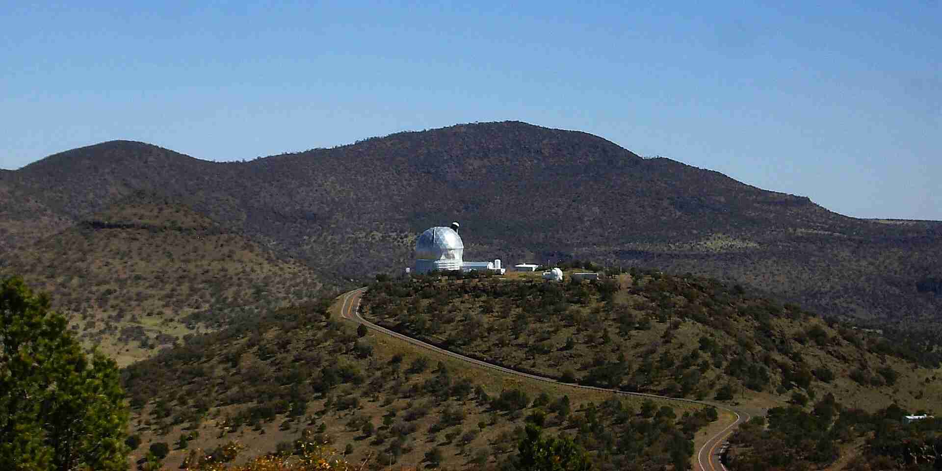
jaygannett, Davis Mountains-McDonald Observatory, CC BY-SA 2.0