
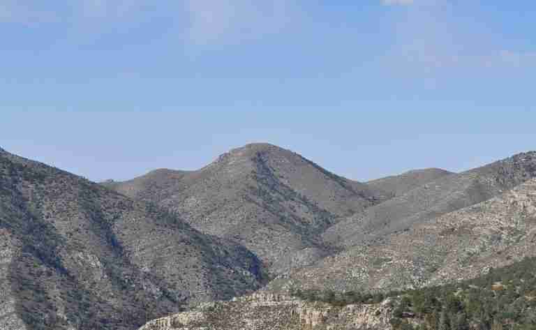
Bartlett Peak is one of the most striking summits within Guadalupe Mountains National Park in far West Texas. Rising to approximately 8,508 feet above sea level, it stands among the highest points in the state and is considered the fourth-highest peak in Texas. The mountain is part of the rugged Guadalupe range, which forms a massive limestone reef dating back to the Permian period. This remote and dramatic terrain makes Bartlett Peak a compelling destination for seasoned hikers seeking solitude and challenge away from the park’s busier trails.
Terrain and Access
Unlike Guadalupe Peak, which features a well-marked and popular hiking route, Bartlett Peak has no maintained trail leading to its summit. The ascent requires off-trail navigation across steep slopes, rocky ridges, and loose limestone surfaces. The area’s ruggedness adds both difficulty and beauty to the experience, rewarding skilled backcountry hikers with wide panoramic views of the Chihuahuan Desert, nearby summits such as Bush Mountain, and the extensive limestone cliffs that define the park.
Those attempting to reach Bartlett Peak typically begin from nearby established routes, including sections of the Tejas Trail or Bush Mountain Trail. From there, the final approach involves cross-country travel through dense vegetation and uneven rock. Because the route is unmarked, hikers must rely on strong navigational skills, topographic maps, and GPS equipment. The National Park Service requires permits for overnight backcountry use, ensuring safety and conservation within the fragile desert environment.
Natural Environment
The Guadalupe Mountains are known for their remarkable ecological diversity, and Bartlett Peak reflects that richness. Its slopes are covered with a mix of desert scrub and high-elevation woodlands, featuring pinyon pine, juniper, and scattered ponderosa trees. Wildlife sightings are common throughout the region. Mule deer roam the foothills, while mountain lions and gray foxes inhabit the more secluded canyons. Birdwatchers may spot species such as golden eagles, canyon wrens, and various hawks that thrive in the cliffs and open sky above the desert floor.
Geology and Climate
Bartlett Peak is part of the ancient Capitan Reef formation, one of the most significant fossilized reef systems on Earth. The limestone composing its cliffs and ridges was formed over 250 million years ago in a shallow inland sea. Today, this geological history is visible in the exposed rock layers and fossil remnants that line the slopes. The region’s arid climate brings sharp temperature contrasts between day and night, and weather conditions can shift quickly, especially at higher elevations. Visitors should prepare for intense sun exposure, strong winds, and limited water availability.
Experience and Safety
Climbing Bartlett Peak is not a casual outing but a true backcountry challenge suited to experienced adventurers. Preparation is essential, including carrying adequate water, protective clothing, and reliable navigation tools. Due to the absence of maintained trails and the peak’s isolation, visitors are encouraged to notify park rangers of their intended route and schedule. In return for the effort, the summit offers sweeping views of Texas’s highest landscapes and a sense of quiet rarely found in more accessible parts of the park.
Photos:
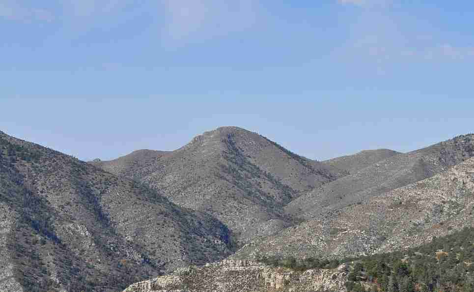
Bartlett Peak
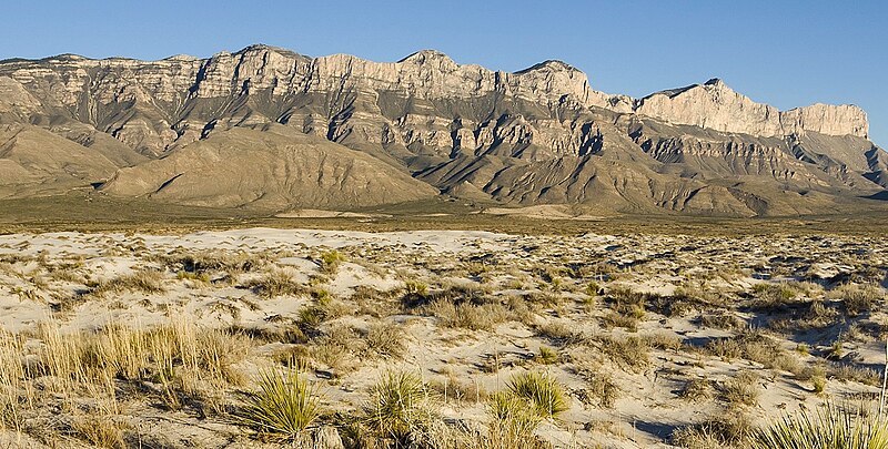
Guadalupe Mountains west
Map:
Sorry, no records were found. Please adjust your search criteria and try again.
Sorry, unable to load the Maps API.
Salt Flat
Texas
79847
United States
Pets are not allowed on backcountry trails or summits.
- Backcountry hiking
- Wilderness camping
- Wildlife observation
- Photography
- Backcountry campsites (permits required)
- Visitor center at Pine Springs for information and permits
- Marked trails leading toward the base of the peak (off-trail required for summit)