
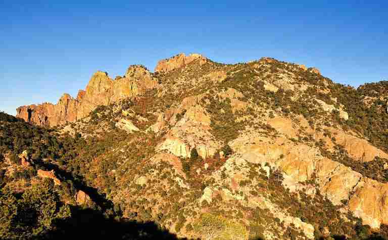
The Lost Mine Trail is one of the most popular and accessible hikes in Big Bend National Park, located in the Chisos Mountains of West Texas. This moderately challenging route stretches for about 4.8 miles round trip and offers some of the park’s most remarkable mountain and desert views. The trail begins near the Chisos Basin Road and steadily climbs through mountain woodlands, ending with sweeping panoramas that capture both the rugged peaks of the Chisos range and the distant expanse of the Chihuahuan Desert below.
Trail Features and Terrain
The trail gains approximately 1,100 feet in elevation, starting at around 5,600 feet and reaching just over 6,800 feet near the summit. Hikers will notice a gradual change in vegetation as they ascend—from oak, juniper, and pine woodlands at lower elevations to more exposed ridgelines dotted with sotol, agave, and other hardy desert plants near the top. The combination of mountain and desert ecosystems makes this trail especially rich in biodiversity and scenery.
Along the route, visitors pass through several scenic overlooks that provide clear views of notable landmarks, including Pine Canyon, Casa Grande Peak, and Juniper Canyon. The final viewpoint near the trail’s end rewards hikers with one of the best vistas in Big Bend National Park, encompassing much of the surrounding desert basin and the Rio Grande area far below.
Flora and Fauna
The Lost Mine Trail sits within a transition zone between desert and mountain environments, creating ideal conditions for diverse wildlife. While sightings are not guaranteed, the area is known to support black bears, mountain lions, mule deer, javelinas, and many smaller species such as rock squirrels and lizards. Birdlife is abundant, with common sightings of Mexican jays, canyon wrens, and hummingbirds, particularly during the spring and fall migration seasons.
Plant life varies dramatically with elevation. At the base of the trail, oak and juniper dominate the landscape, gradually giving way to pinyon pine, madrones, and desert shrubs as the elevation rises. These shifts make the hike both scenic and educational for those interested in the ecology of the Chisos Mountains.
The Legend Behind the Name
The origin of the trail’s name is rooted in local legend. According to long-told stories, Spanish explorers or settlers once operated a mine in the Chisos Mountains, possibly for silver or gold. The mine’s exact location was supposedly kept secret and eventually lost after the workers were killed or driven away, leaving behind only the tale of a “lost mine.” No physical evidence of such a mine has ever been found, but the story remains a cherished part of Big Bend’s folklore and adds a sense of mystery to the hike.
Geological and Scenic Highlights
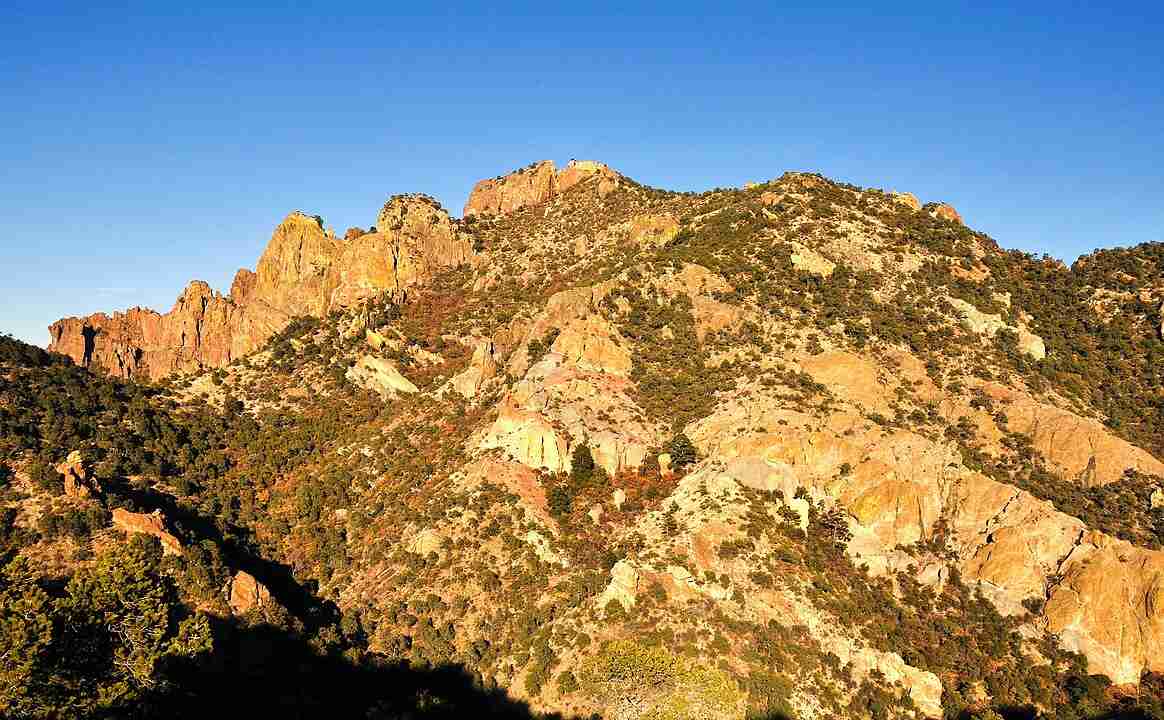
The Chisos Mountains are of volcanic origin, and the Lost Mine Trail offers hikers a close look at this geological history. The rocks along the trail consist mostly of volcanic tuff and rhyolite, remnants of ancient eruptions that shaped the region millions of years ago. The steep cliffs, weathered formations, and deep canyons visible from the ridge testify to centuries of erosion and tectonic uplift. These features make the hike not only visually striking but also an excellent window into the geological forces that built Big Bend’s distinctive terrain.
Visiting Tips
Hikers typically take two to three hours to complete the round trip, depending on pace and the number of stops for photos or rest. Starting early in the morning is recommended, both to avoid the midday heat and to catch the soft light that enhances the landscape views. The trail is well-marked and maintained, but visitors should carry plenty of water, wear sturdy footwear, and be mindful of wildlife. During peak seasons, parking can fill quickly, so arriving before 9 a.m. is advised.
Photos:
Map:
Sorry, no records were found. Please adjust your search criteria and try again.
Sorry, unable to load the Maps API.
Houston
Texas
United States
Pets are not permitted on the Lost Mine Trail or any other trails within Big Bend National Park.
-
Hiking: The trail offers a moderately strenuous hike suitable for those with a reasonable fitness level.
-
Wildlife Viewing: Opportunities abound to observe native wildlife in their natural habitats.
-
Photography: The scenic vistas provide excellent photography opportunities, especially during sunrise and sunset.
-
Parking: Limited parking is available at the trailhead; arriving early is advisable to secure a spot.
-
Interpretive Brochures: Trail brochures detailing local flora and fauna are available at the trailhead for an enriched hiking experience.