
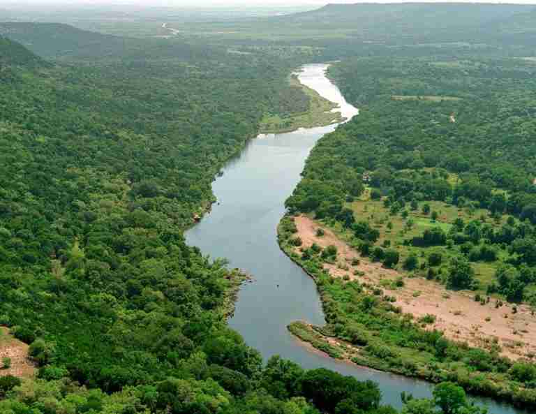
The Brazos River, known historically as Río de los Brazos de Dios or “Arms of God,” is one of the most significant waterways in Texas. Stretching about 1,280 miles when measured from its farthest headwaters in eastern New Mexico, it is generally regarded as the longest river that lies mostly within the state. The river flows southeast through diverse terrain—from the high plains of the Panhandle through agricultural valleys and wooded lowlands—before emptying into the Gulf of Mexico near Freeport in Brazoria County.
Geography and Course
The river’s major headwaters include the Double Mountain Fork, Salt Fork, and Clear Fork. The Double Mountain and Salt forks join in Stonewall County to form the main Brazos, while the Clear Fork enters the river farther downstream near Possum Kingdom Lake. The Brazos River basin covers roughly 45,000 square miles, supporting agriculture, municipalities, and industries across central and southeast Texas. Along its course, the river provides irrigation and sustains both rural and urban communities, contributing significantly to Texas’s economy and ecology.
History and Significance
Spanish explorers named the river Los Brazos de Dios in the 17th century, a name that reflected its life-sustaining qualities to early travelers. It is believed to be the river that French explorer René-Robert Cavelier, Sieur de La Salle, referred to as the Maligne. Historical accounts indicate that La Salle was killed near the Brazos River, marking the region as a notable site in early French exploration of Texas.
Throughout Texas history, the Brazos River has played a crucial role in settlement, commerce, and transportation. Its fertile valley supported early farming and ranching communities, while its waters served as a key resource during the state’s development. Today, the river continues to serve as a vital waterway, managed through reservoirs and conservation efforts that balance human needs with environmental protection.
Notable Features and Facts
The Brazos River ranks among the longest rivers in the United States, often listed around the fourteenth position depending on how its length is measured. Its name, Brazos de Dios, remains one of the most poetic and enduring in the history of Texas geography. The river’s watershed is home to several major reservoirs, including Possum Kingdom Lake, Lake Whitney, and Lake Brazos, all of which provide recreation, hydroelectric power, and flood control.
Photos:
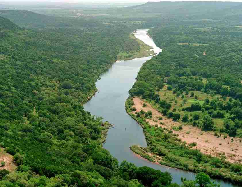
Brazos River
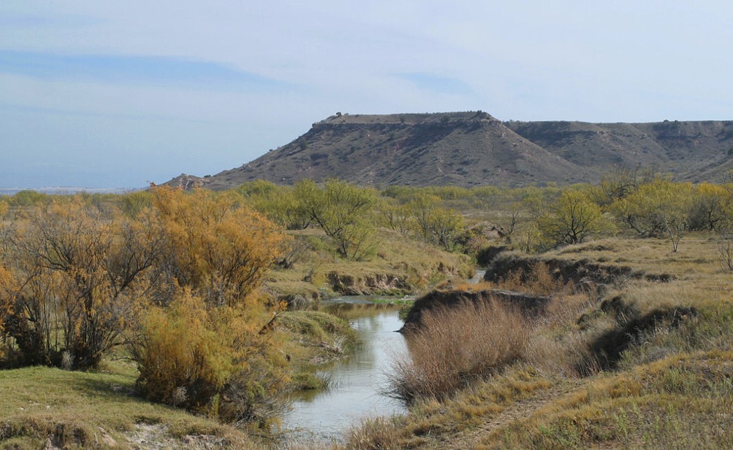
North Fork Double Mountain Fork Brazos River
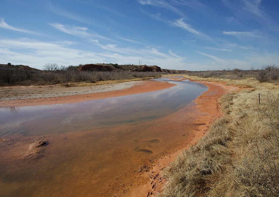
Salt Fork
Map:
Sorry, no records were found. Please adjust your search criteria and try again.
Sorry, unable to load the Maps API.
Houston
Texas
77461-5634
United States
Yes, pets are allowed but must be on a leash no longer than six feet.
- Hiking and biking on over 37 miles of trails
- Fishing in multiple lakes
- Wildlife observation, including bird watching and alligator sightings
- Stargazing at the George Observatory
- Camping
- Picnicking
- Campsites with and without electricity
- Restrooms with showers
- Picnic areas with tables and grills
- Nature center
- Interpretive exhibits
- Playground