
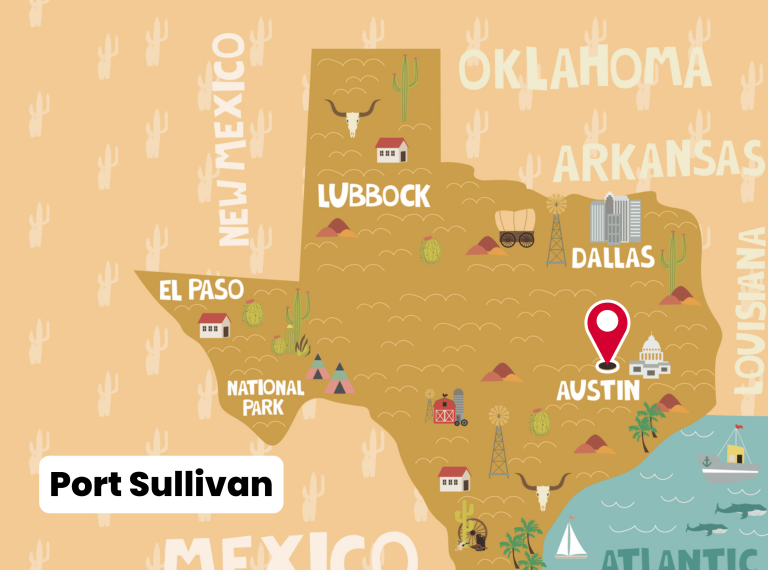
The story of Port Sullivan begins with Augustus W. Sullivan, who obtained title to land on the Brazos River bluff in 1835. This bluff, later known as Sullivan’s Bluff, became the foundation for one of the earliest river towns in Milam County. By the early 1850s, the area began to develop into a community. Sullivan subdivided the land into lots around 1851, and by 1852 the settlement was becoming a recognized town.
Port Sullivan’s location on the Brazos River gave it special importance. Steamboats could reach the bluff during periods of high water, making it the northernmost navigable point on the Brazos River. This strategic advantage allowed it to serve plantations and communities farther south that relied heavily on river transportation for trade.
Growth and Prosperity
By the mid-1850s, Port Sullivan was flourishing. Records from 1852 note a population of about 200 residents. The community supported four general stores, a sawmill, warehouses, a post office, and professional services such as doctors and a lawyer.
The town expanded rapidly. By 1860, Port Sullivan had around 680 residents and was considered a promising river port. During this period, the Port Sullivan Male and Female Institute (sometimes called the Port Sullivan College) was established. Like other “male and female institutes” of the era, it was a co-educational academy that provided advanced secondary education and some college-level coursework. Its presence distinguished Port Sullivan from many other rural communities.
The Height of Population
The 1870 census recorded 1,423 residents in Port Sullivan, making it one of the largest settlements in the region at that time. The port remained an important hub for shipping cotton and other goods down the Brazos River. Warehouses stored agricultural products, and river traffic connected the town to markets farther south.
Decline and Abandonment
Despite its success in the 1860s, Port Sullivan’s fortunes shifted with the arrival of railroads in the 1870s. Rail lines in neighboring towns such as Hearne and Calvert offered faster and more reliable transportation than the Brazos River, which was prone to unpredictable water levels. Port Sullivan, bypassed by the railroads, saw its commercial importance fade.
The decline was swift. By 1880, the population had dropped to just 123 residents. The Port Sullivan Institute closed during the late 1870s, and businesses shuttered as families left for more prosperous areas.
By the 1890s, the once-thriving river town had virtually disappeared. Early in the 20th century, very little remained of Port Sullivan beyond scattered buildings and the community cemetery.
Later Developments and Remnants
In the 1910s, the U.S. Army Corps of Engineers attempted to improve navigation on the Brazos River. As part of this effort, they built a series of concrete locks and dams near the site of Port Sullivan between 1910 and 1920. However, the project proved unsuccessful. The locks were never fully functional, and they fell into disuse. Today, fragments of those concrete structures still stand in the river as reminders of the ambitious but failed project.
What Remains Today
Although Port Sullivan vanished more than a century ago, several reminders of its history endure:
-
Port Sullivan Cemetery, which contains the graves of early settlers.
-
A Texas Historical Marker commemorating the community.
-
Concrete lock remnants in the Brazos River, built by the Army Corps of Engineers in the early 20th century.
Key Facts at a Glance
-
Founded: Land acquired in 1835; community developed by early 1850s.
-
Location: Sullivan’s Bluff, Brazos River, Milam County, Texas.
-
Significance: Northernmost navigable port on the Brazos River.
-
Peak Population: 1,423 (1870).
-
Institutions: Port Sullivan Male and Female Institute (closed late 1870s).
-
Decline: Bypassed by railroads in the 1870s; population fell sharply by 1880.
-
Today: Cemetery, historical marker, and abandoned concrete locks remain.
Photos:
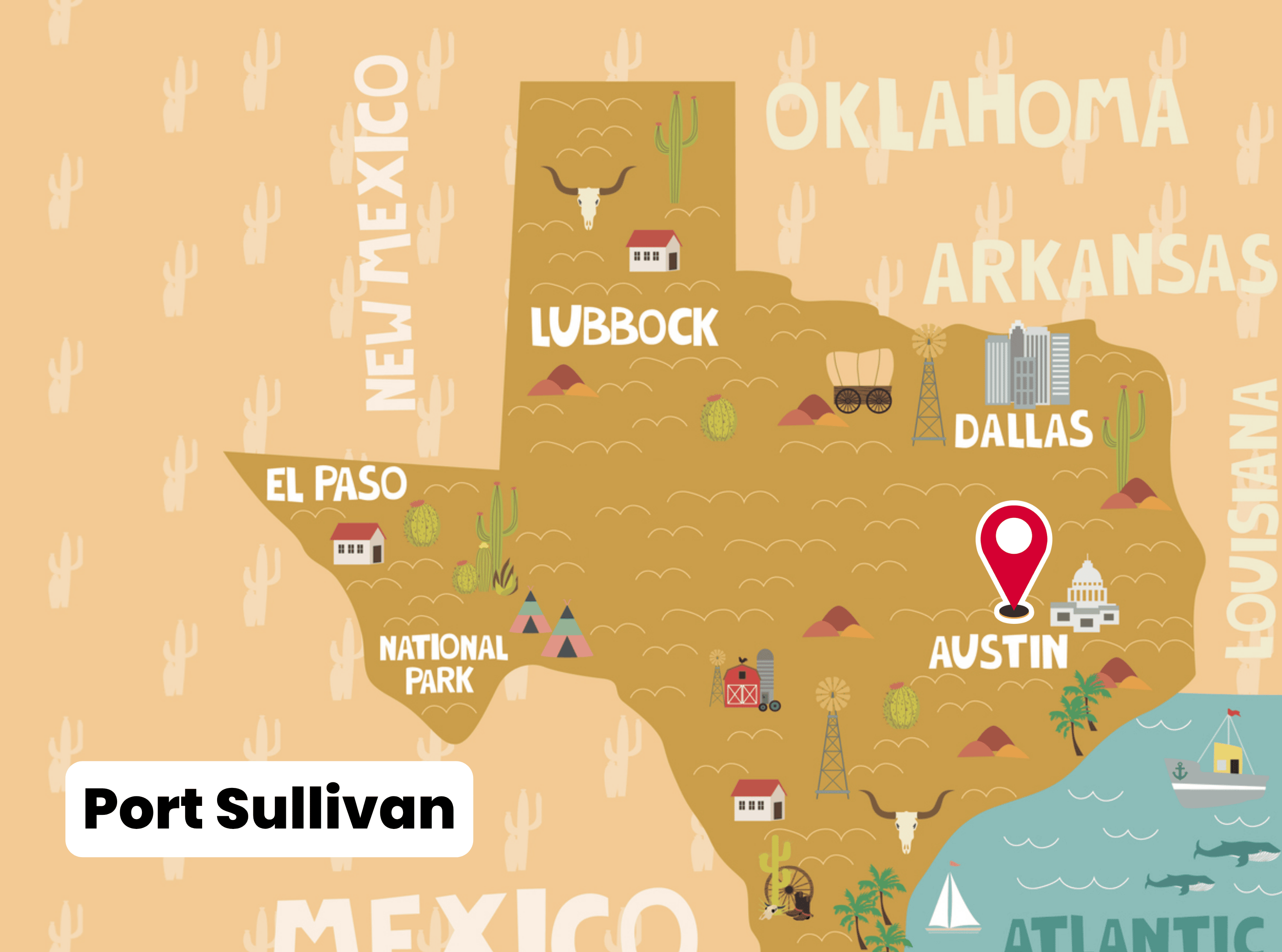
Port Sullivan
Map:
Sorry, no records were found. Please adjust your search criteria and try again.
Sorry, unable to load the Maps API.
Milam County
Texas
United States
- Visitors should assume that pets on leash are acceptable in cemetery grounds, but obtain permission before entering adjacent private land.
- Visiting gravesites, reading historical markers, photography, exploring nearby ruins/remnants (e.g. concrete river-locks) where accessible.
- No known public facilities (restrooms, drinking water, visitor center). Visitors should bring water and essentials.