
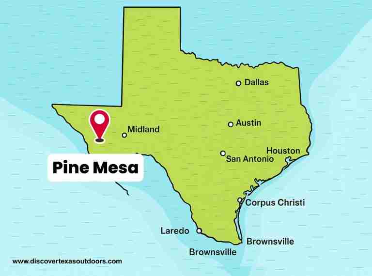
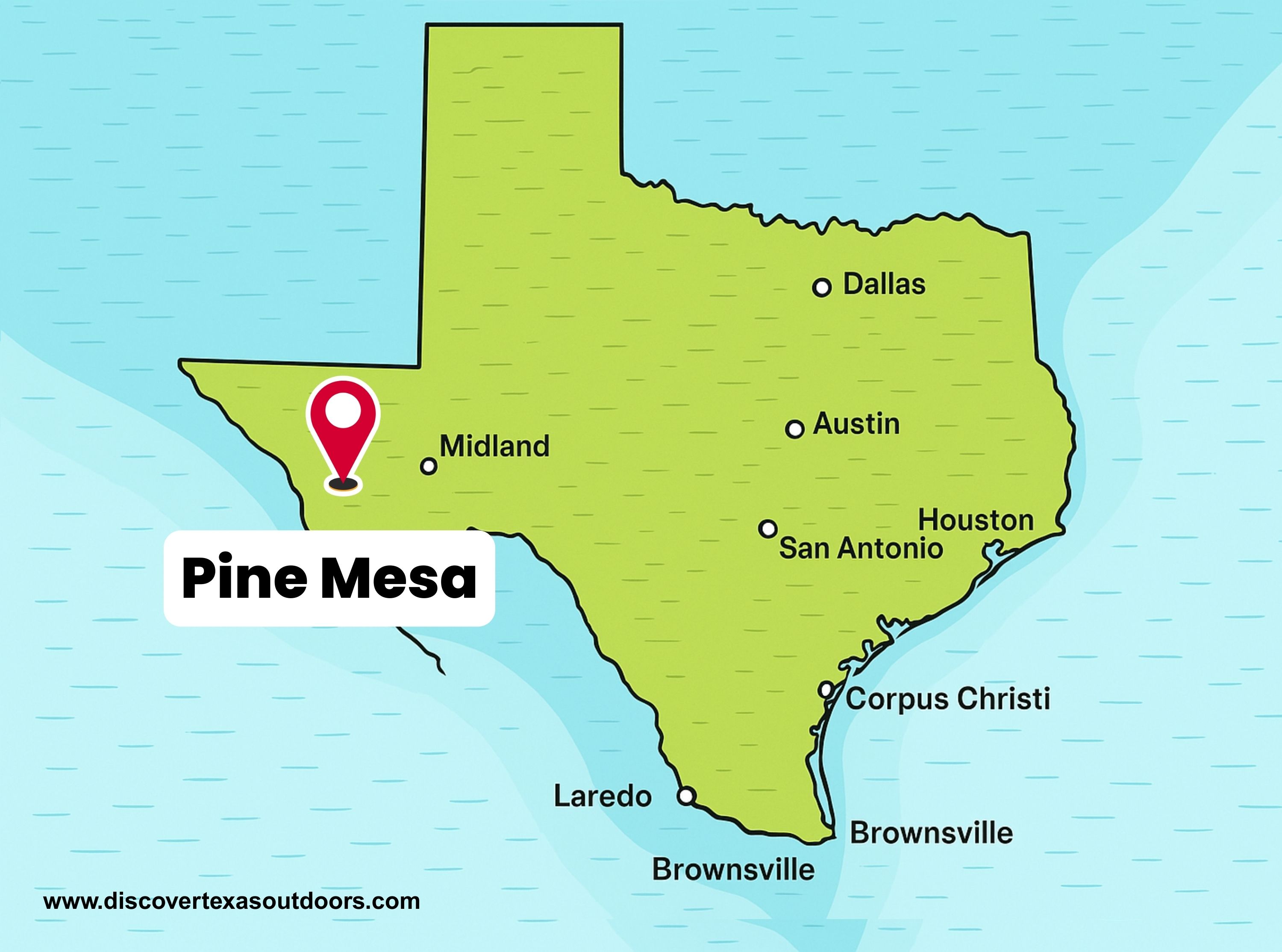
Pine Mesa is a prominent summit located in the Davis Mountains of Jeff Davis County, Texas. With an elevation of about 7,293 feet (2,223 meters), it stands as one of the higher points in this rugged mountain range. The Davis Mountains are known as a “sky island” because their cooler, wetter highlands create ecological zones very different from the surrounding Chihuahuan Desert.
Location and Topography
Pine Mesa lies close to Mount Livermore, the highest peak in the Davis Mountains, which rises to approximately 8,378 feet (2,554 meters). The mesa is situated in a region of rolling uplands, canyons, and forested slopes. This terrain creates a striking contrast with the desert basins below, offering expansive views of West Texas.
Ecology and Environment
The Davis Mountains are among the most biologically diverse areas in Texas. At higher elevations such as Pine Mesa, the landscape supports woodlands dominated by pinyon pine, juniper, and oak. These cooler and moister habitats provide refuge for many plants and animals typically found in more northern regions. The surrounding desert, by comparison, features grasslands and sparse vegetation adapted to arid conditions. This sharp ecological contrast makes the Davis Mountains an important natural refuge.
Conservation and Access
Much of the area around Pine Mesa is protected within or adjacent to the Davis Mountains Preserve, a conservation area managed by The Nature Conservancy. The preserve spans tens of thousands of acres and safeguards a mix of desert grasslands, montane forests, and riparian habitats. Public access is limited to specific open weekends and guided events, which are designed to balance recreation with conservation. Visitors can join these events for hiking, bird watching, and learning about the area’s geology and ecology.
Significance
Pine Mesa contributes to the unique geography and biodiversity of the Davis Mountains. Its elevation, proximity to Mount Livermore, and place within a protected ecological region make it a valuable part of Texas’s natural heritage. The mesa also symbolizes the connection between Texas’s desert lowlands and its mountain highlands, showing how elevation shapes life and landscape across the state.
Photos:
Map:
Sorry, no records were found. Please adjust your search criteria and try again.
Sorry, unable to load the Maps API.
Jeff Davis County
Texas
79734
United States
Yes
- Hiking
- Bird Watching
- Picnicking
- Restrooms
- Pavilions
- Picnic Tables